Home

GUMO?

Leave a comment

In the National Park Service shop I was puzzled by black tee shirts with GUMO in large letters on the front.  Goo-moh?  How was I supposed to know it should be pronounced Gwa-moh?  It took me a moment or two to make the translation.  The Park Service’s standard use of two letters of two words coding for the parks does not work when U is functioning as a consonant.  I was at the Guadalupe Mountains National Park.Peak0219


The park was crowded.  The clerk said it was spring break, but I saw many older couples too.  The date was March 9, just before the reality of the coronavirus epidemic hit us all.  That morning in the busy little shop will remain my “before” image; so much we did not know.

P1010216

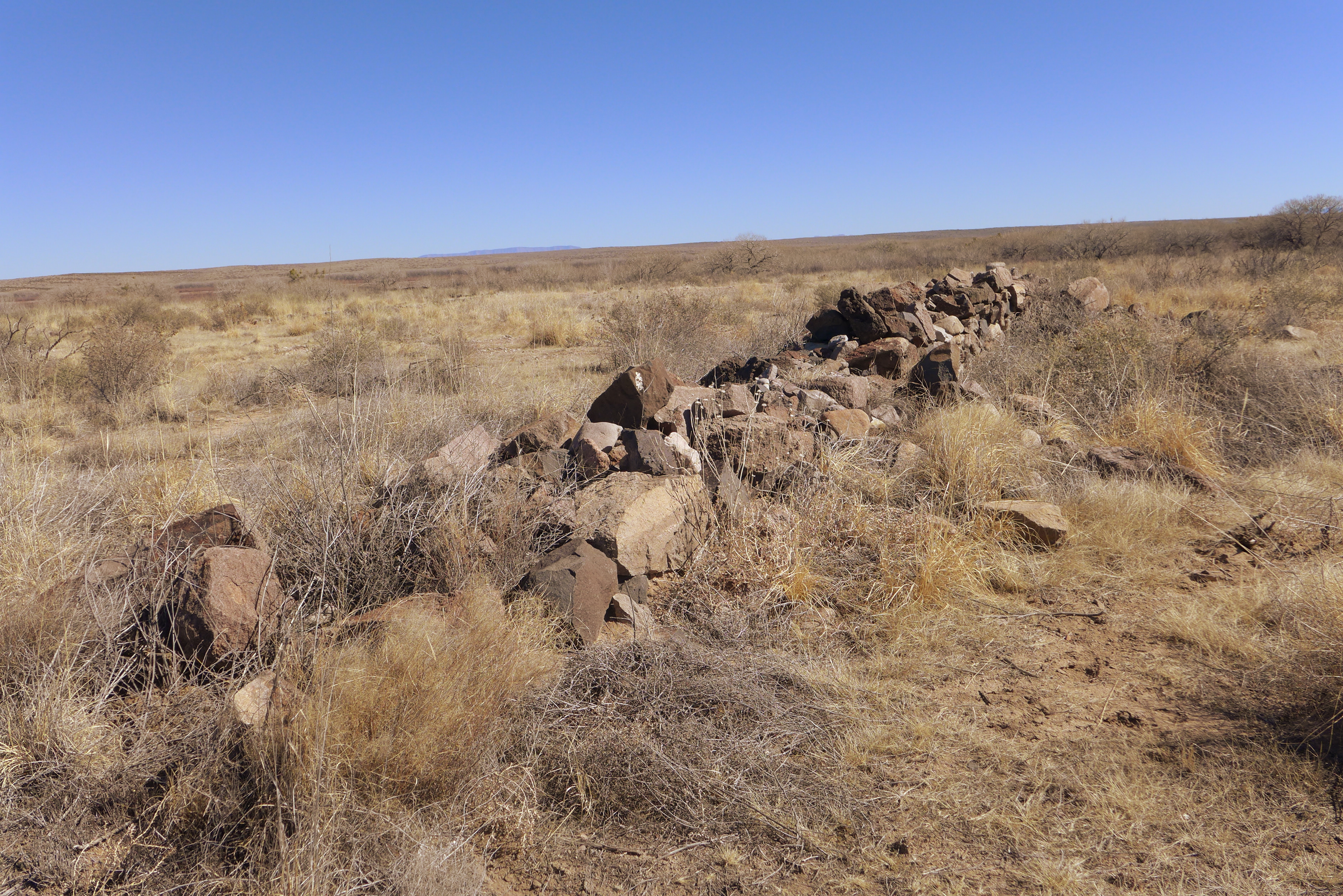
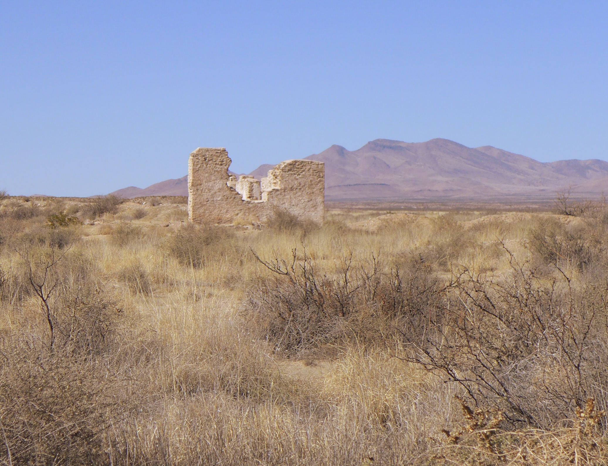
Fortunately, our national monuments, landscapes and parks will be here to come back to.  This park has one unusual historical landmark, the remains of buildings from a stop on the Butterfield Stage Route.

butterfield10226

The Butterfield mail route ran through these mountains from 1851 to 1859, when a safer route was chosen.  Then in 1861 the Civil War interrupted it.  For a business that only lasted ten years, the Butterfield Stage has a big place in southwestern lore.  Since they needed to change horses every twenty miles there are many ruins across the southwest, but few are as easy to get to as this one.

butterfied 20221

Advertisement

North of Pecos, Texas

Leave a comment

Coming home from a conference in San Antonio I decided to take an alternate route and headed north from Fort Stockton on U.S. 285.  It’s a road under reconstruction.  I found out why as I travelled north from Pecos.  There was activity on both sides of the road, apparently many companies making a play for some part of the oil fields below.  It is hard to describe, and couldn’t be photographed from the road, it would require an aerial view.

Flat landscape flattened,
scraped, large rectangles
of sand, a small
building or a few trucks
on each.  Construction
that is destruction
of a delicate ecosystem.

It must be an unpleasant place to work when wind stirs up the sand. And it must be a discouraging place to work now that the demand for fuel has gone down.  That’s another story.

If I had continued north toward Carlsbad I would have seen the same thing in New Mexico; the road runs above the Delaware section of the Permian basin.  Fortunately for me I turned off US 285 toward the Guadalupe Mountains, where I soon had desert bushes on both sides of the road, though there were several signs warning of pipe line construction.  It had been forty long miles of landscape damaged to feed our human world’s need for fossil fuels.

Ft. Craig, Part II: Long Term Rivalry

1 Comment

Ft. Craig sits on the western side of the Rio Grande.  In this photo the river is hiding below that dark line, where the land drops to the river’s level, and soon rises to the mesa on the other side.rio grande

To the west, there is mesa for some distance to the mountains.  These mountains are one set of geologically recent protrusions which have pushed up at intervals, scattered across the landscape.  This view is taken from a lookout site at the top of one of the large storage structures.366west warmer

These photos are closer to what I experienced as the color of the land and bushes than the ones I posted in my previous post.

And to the north is Black Mesa.  On the north side of Black Mesa one of the important battles of the Civil War in New Mexico took place.  The site is Val Verde, a set of arroyos and streams that drain into the Rio Grande.  The Confederate troops came up the eastern side of the mesa; the troops from Ft. Craig went up on the western side.black mesa 3.warmer

While the regular soldiers fought, New Mexico Volunteers, led by Kit Carson, held the fort.  The South won the battle, but the New Mexicans would not give up the fort.  The Confederate troops did not have enough resources to lay siege, so they withdrew.

The Battle of Val Verde took place on February 21, 1862.  On March 28 that same year, the Confederates lost a battle at Glorieta Pass, near Santa Fe, and their push to control the west was over.

I wondered why the New Mexicans were so supportive of the government from far away.  I was told it was because the Texans had already made a grab for New Mexico land earlier.

Kit Carson Slept Here (maybe)

Kit Carson Slept Here (maybe)

This rivalry continues.  I heard two instances of it just last week.  In a meeting about education in the state and financing, the new PARCC testing was discussed.  This testing is created by the Pearson company.  How much are they benefitting from adoption of this testing?  The question was asked “How much money is going to Texas?” where Pearson is based.

On another occasion, in a discussion of Voter I.D. laws a researcher, whose work had led a Texas judge to decide against a new law for that state, got a big laugh when he said, “Let’s see what we can learn from Texas.”

New Mexicans around here go down to El Paso often.  Some even work there.  But they still like to put down Texas.  After all, the Texans did try to take our land.