This past weekend I attended the South West Festival of the Written Word in Silver City. Silver City has a lovely compact old downtown, preserved partly by the collapse of main street into a flooding river over 100 years ago. It is now a big ditch.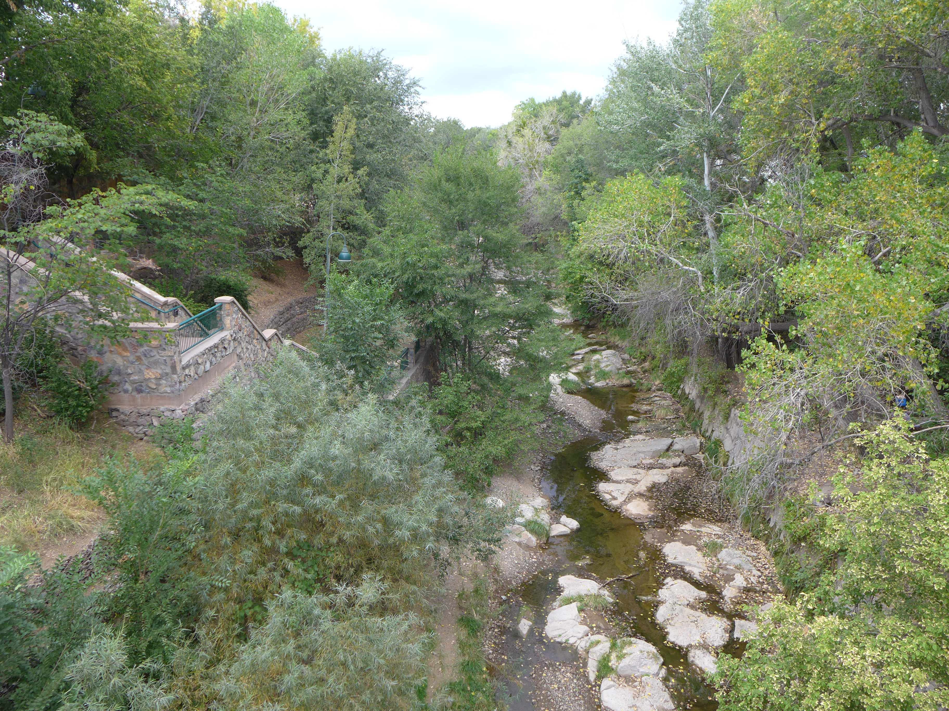
Across the ditch from the visitor’s center is an area of art galleries, coffee shops, antique stores and a few other services, on sloping streets and sidewalks with huge steps at some of the corners. There are even a couple of small independent hotels. I stayed at the Murray Hotel. 
The Festival of the Written Word is an enormous undertaking. I was told the steering committee consists of 24 volunteers, and many more assist at the event. There were as many as four events – readings, panels, lectures, etc.- going on at once, and one could easily walk from one to another. At Javelina coffee shop I heard two young poets lamenting lost languages.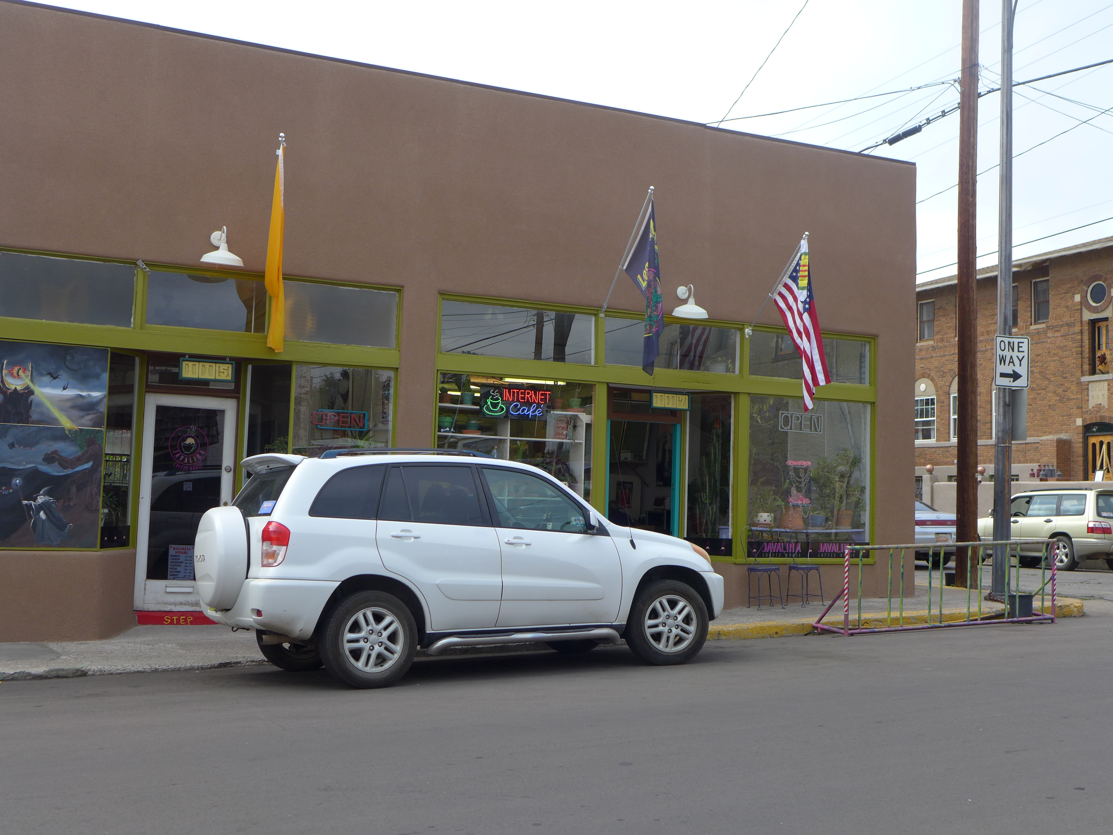
At the Old Elks Lodge, Demetria Martinez talked about writing and activism.
Later, several writers gathered in the same place to discuss their inspirations and their frustrations.
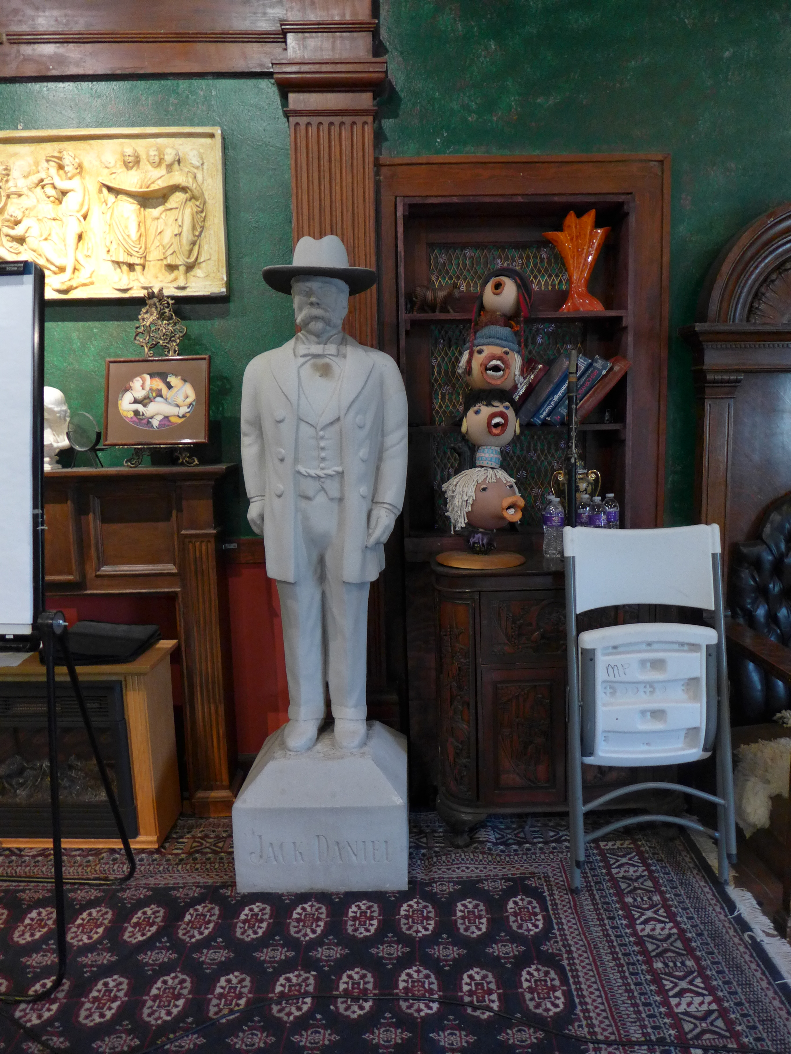
A sample of the mix of art and artifacts inside Elks Lodge.
Many local businesses supported the event by hosting programs. At Seedboat Gallery I listened to two poets: Simon Ortiz read about injustices suffered by his Navaho people and the trials of Vietnam vets; Jules Nyquist shared her work in progress about nuclear weapons and their influences.
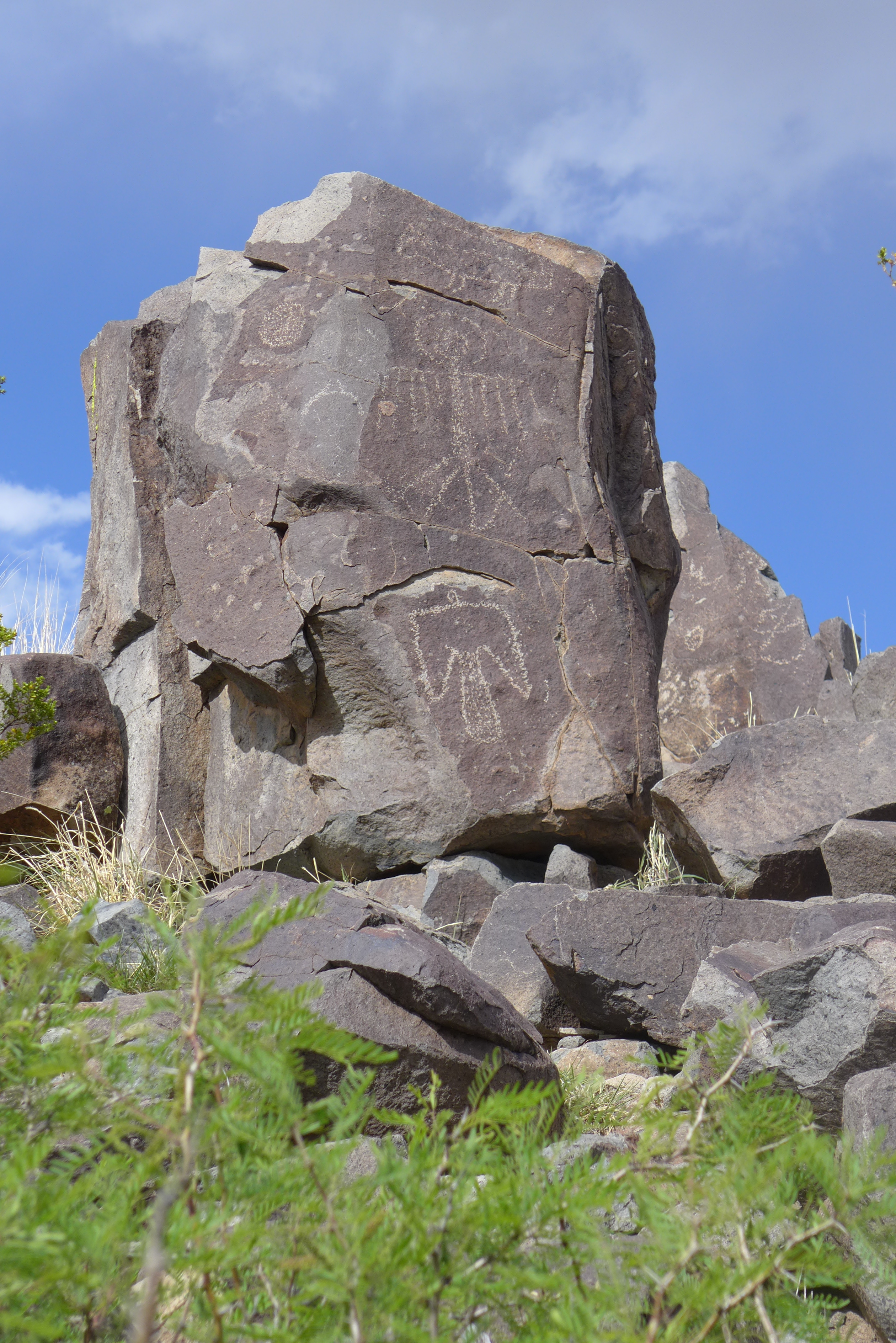
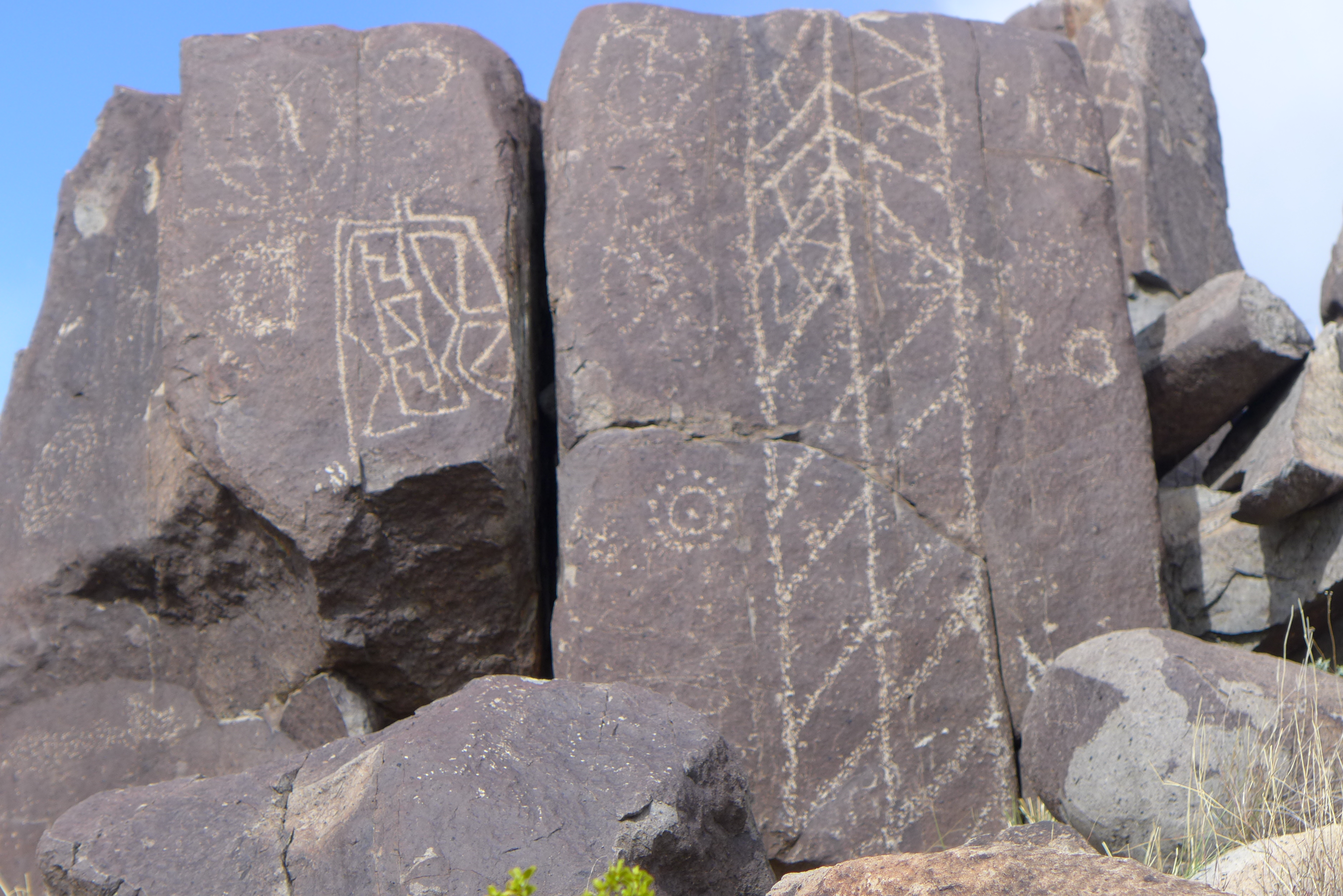
And those were just one person’s choices on one day. Between events I noticed some of the decorated walls around town. One building features native shapes.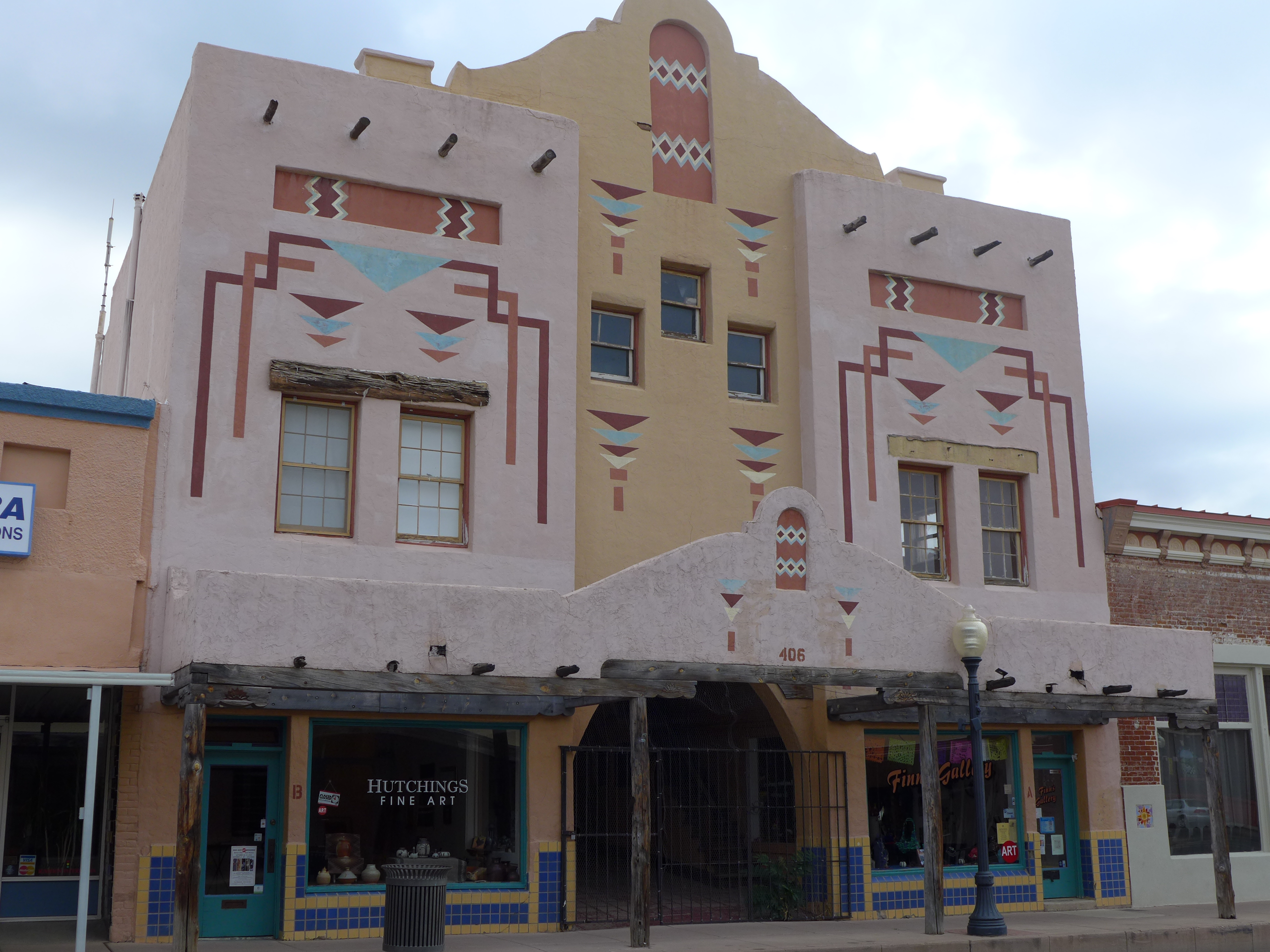
Another looks like a Mondrian.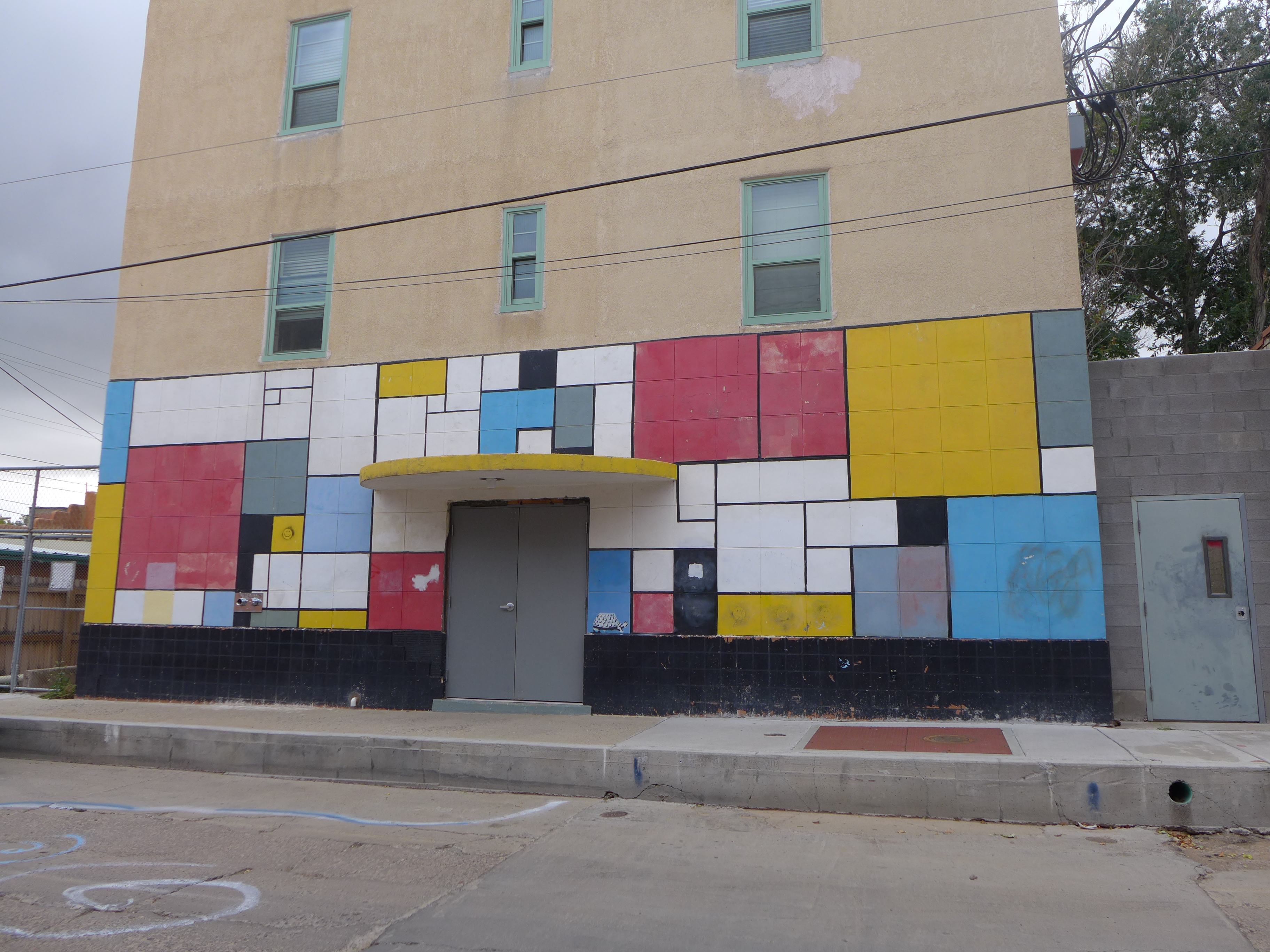
This weekend event is held every other year. I am looking forward to the next one in 2017.