More pictures from my visit to Three Rivers Petroglyph Site, now that I’ve had time to sort them out a bit. First a close up of the rock ridge. 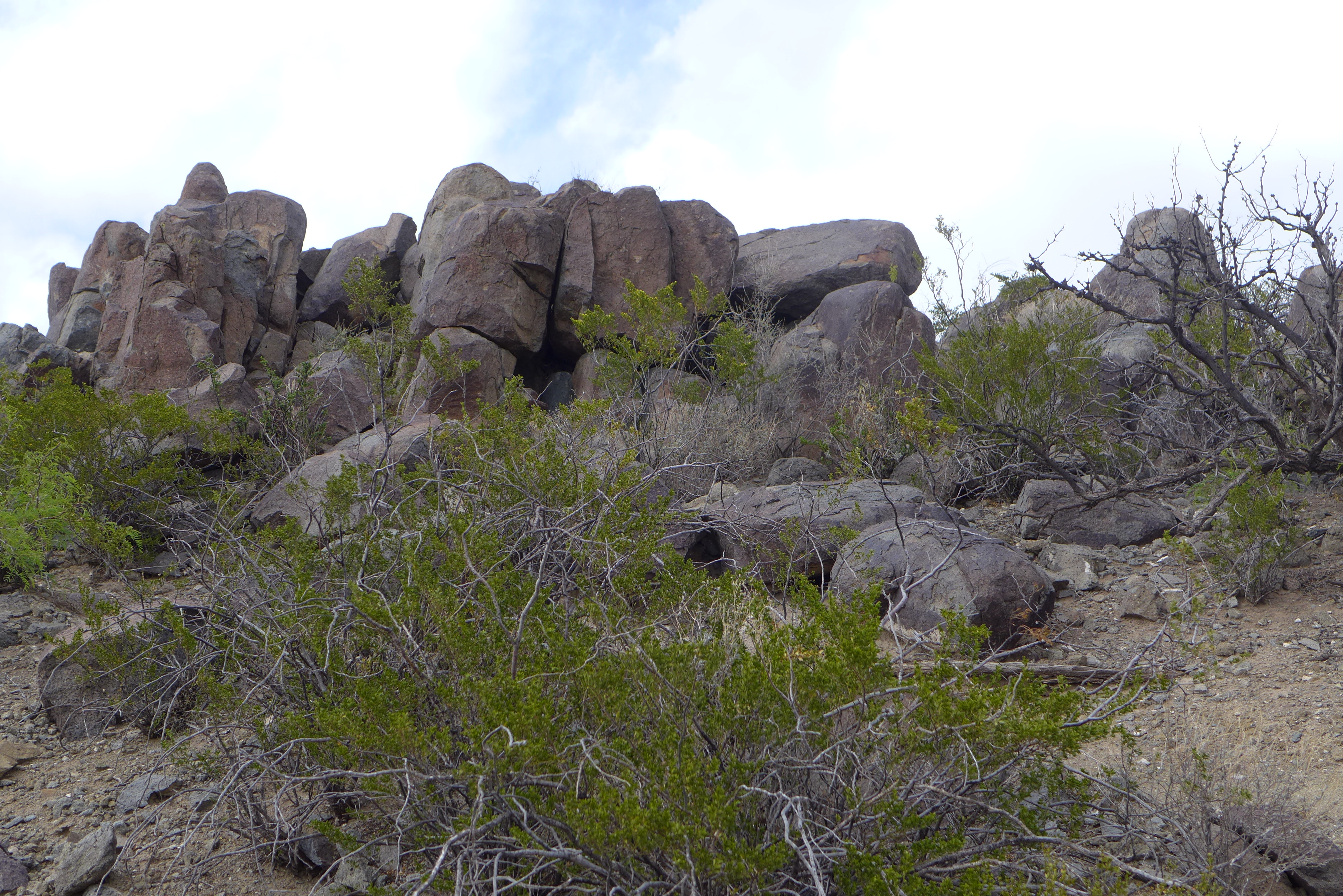 Many of the figures stand alone, but in some cases the drawings overlap. What is the meaning of these animals which seem to have invaded a house?
  Various zigzag patterns can be found.
 That picture reveals the inexperience of the photographer, who does not always remember to check for her shadow!
The ridge is isolated. To the west is the Tularosa basin, which is mostly the property of the army: White Sands Missile Range. To the east is a plain before the Sacramento mountains, which had snow at the top.  I could only find one example of a sign well known beyond the local community: the thunderbird.
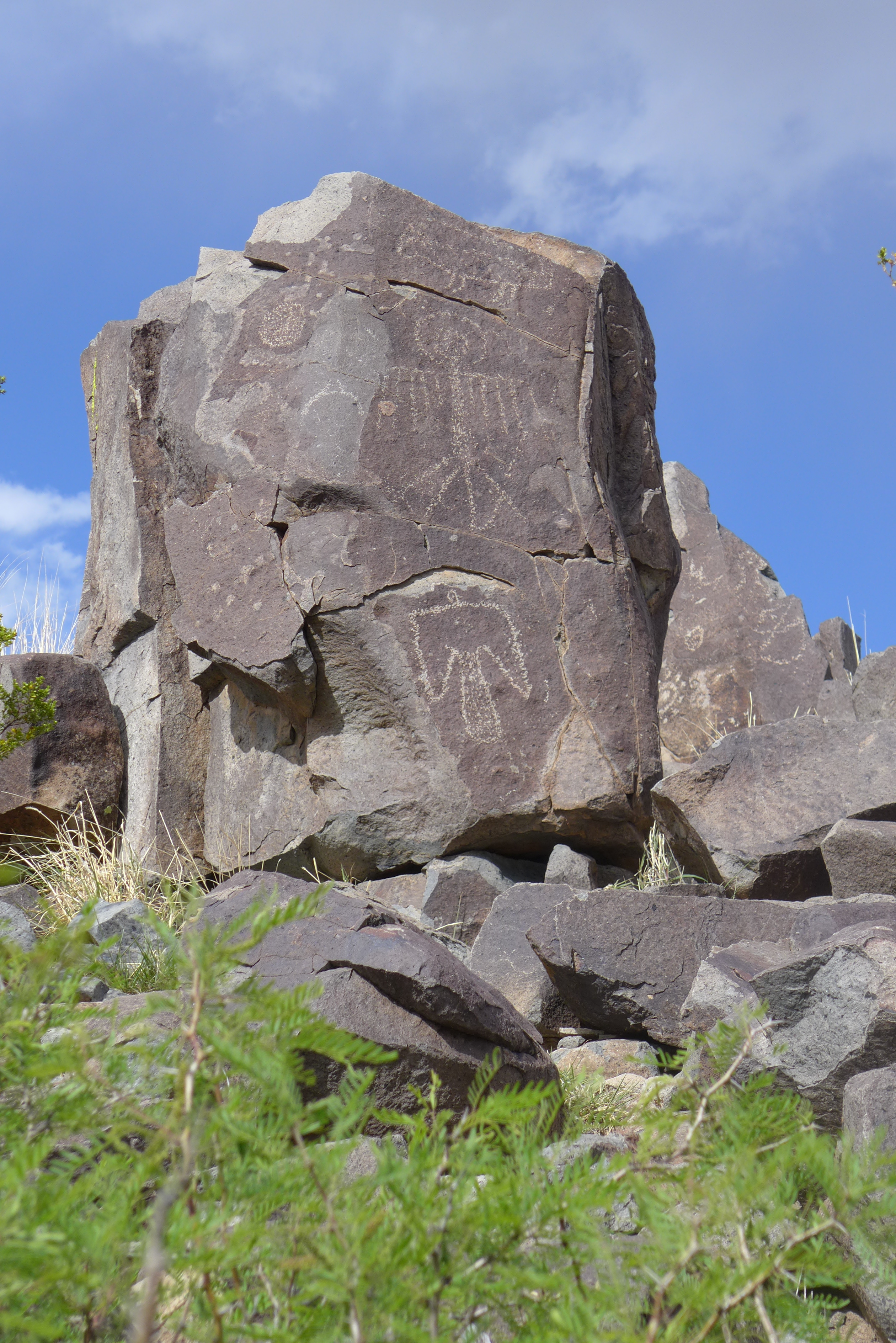 There were circles on many different kinds and complexities.
 The picture above gives a good example of the stone, dark on the outside, not on the inside. Sometimes the different images are crowded together. These seem to have been in a prime location.
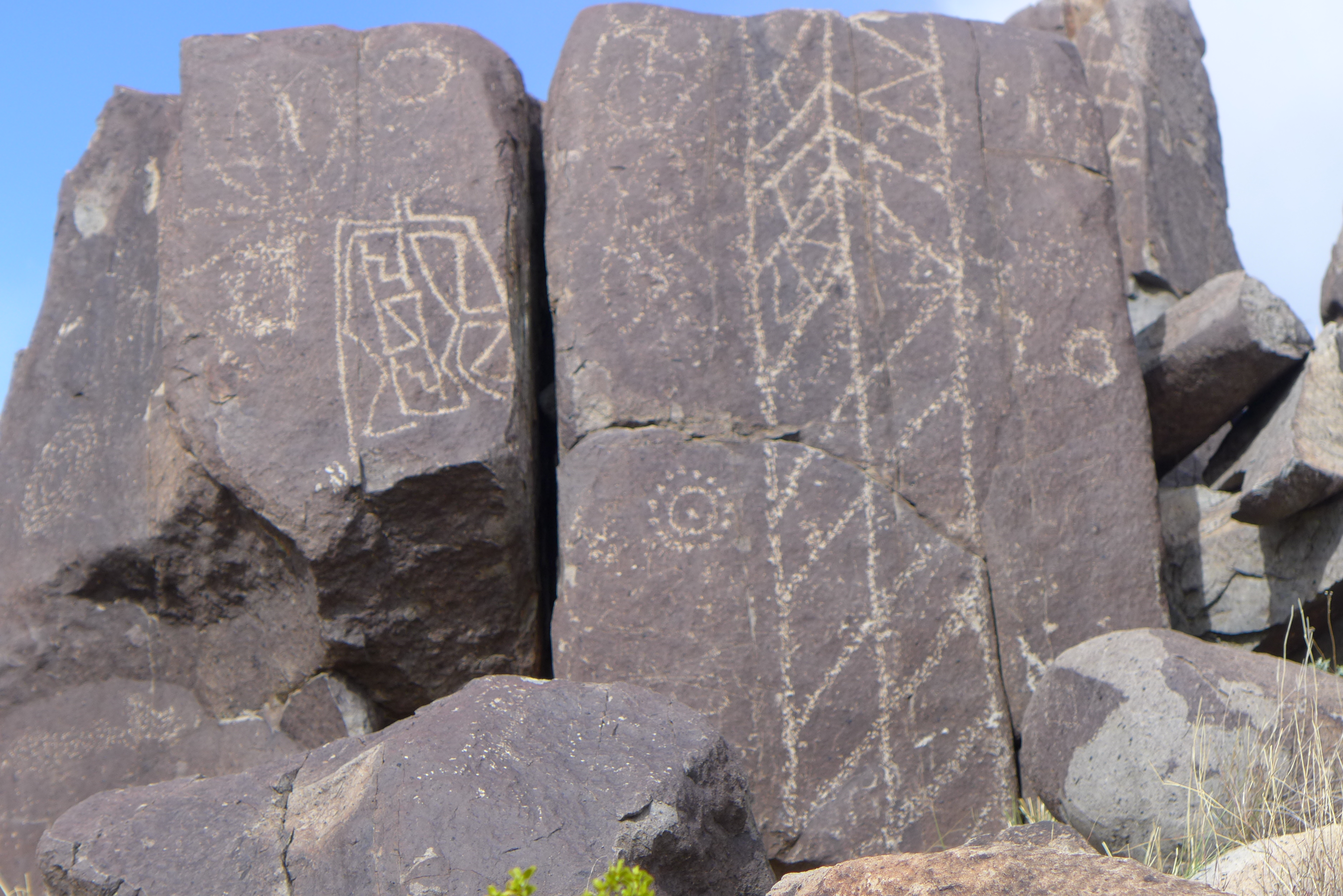 Not many flowers were in bloom, but I did find one clump in a protected area.
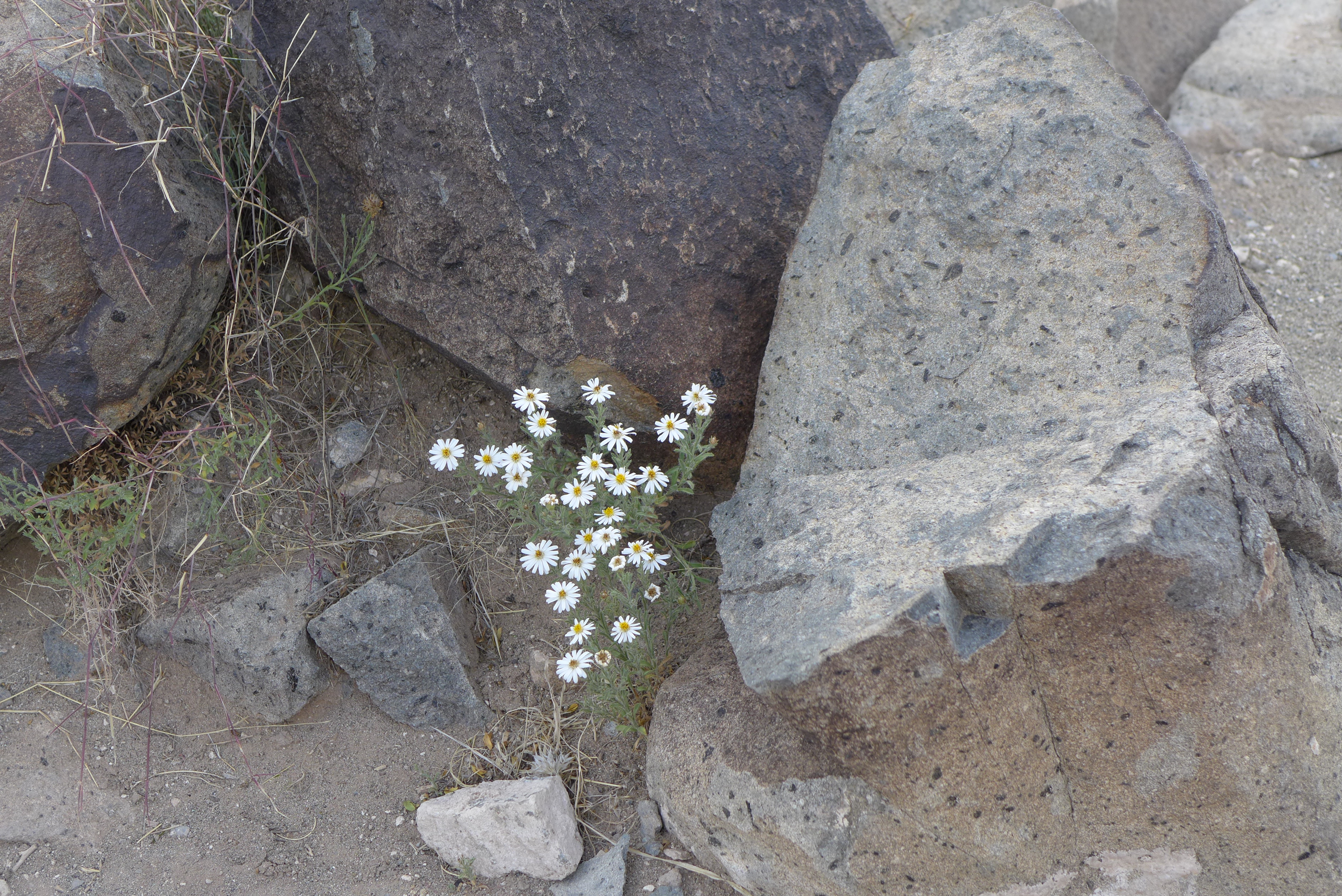 On the was back to the highway I was stopped by a passing train.
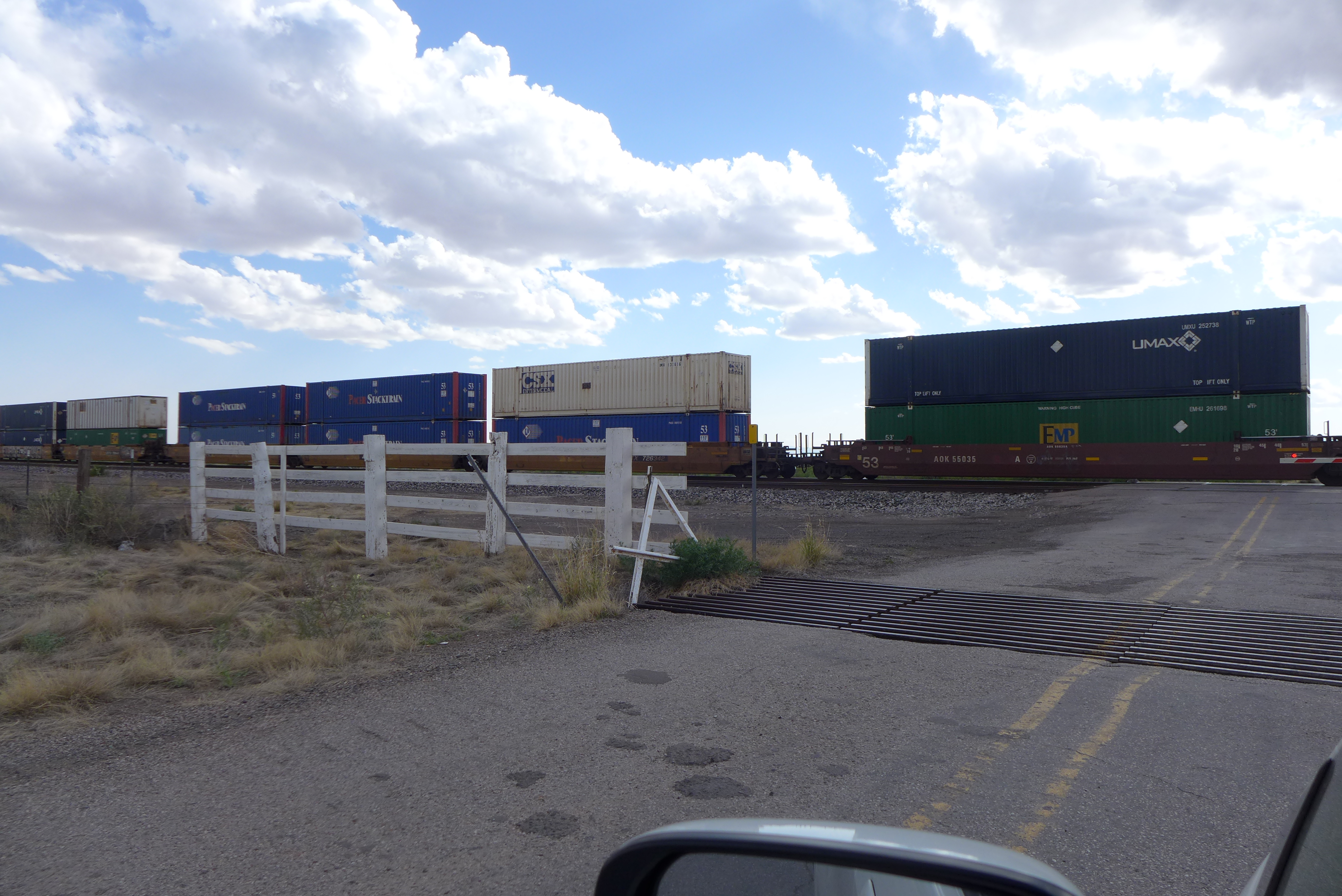 There are a lot of grade crossings in New Mexico. I was stopped a second time on my way north to Albuquerque. That’s one result of staying off the Interstate. The rest of the world is still at work while I take a holiday.

May 08, 2015 @ 08:28:14
I particularly like the photograph of the Sacramento mountains. And I think the photographer’s shadow adds interest to the photo in which it appears!