William Least Heat Moon’s book Blue Highways is one I enjoyed reading when I was younger. It celebrated the lesser roads which were blue on road maps. Not the least of roads, but roads that went to small towns off the U.S. Highways.
When the Interstates came in someone decided that their color should be blue. Now another color was needed for the lesser roads. On most maps I’ve used the U.S. highways were and still are red, except where they’ve been turned into limited access roads and are then entitled tobe colored blue. What to color the lesser roads? Our American Map uses orange for the secondary roads and yellow for those which are only “other paved roads.” A nice color scheme.
Except for the fact that colors carry emotional weight. Blue is a color of hope “the wide blue yonder,” “the sky’s the limit.” Orange is the color of danger.
Orange is used for warning and road work signs because, as I have come to realize after seeing signs ahead on the road for years now, it is the most visible.
But orange as a line on a map doesn’t call us out the way blue suggests possibility. And those big blue highways don’t lure us out, they command, insist. Driving the big blue roads is a matter of minutes and miles, not of countryside and new impressions.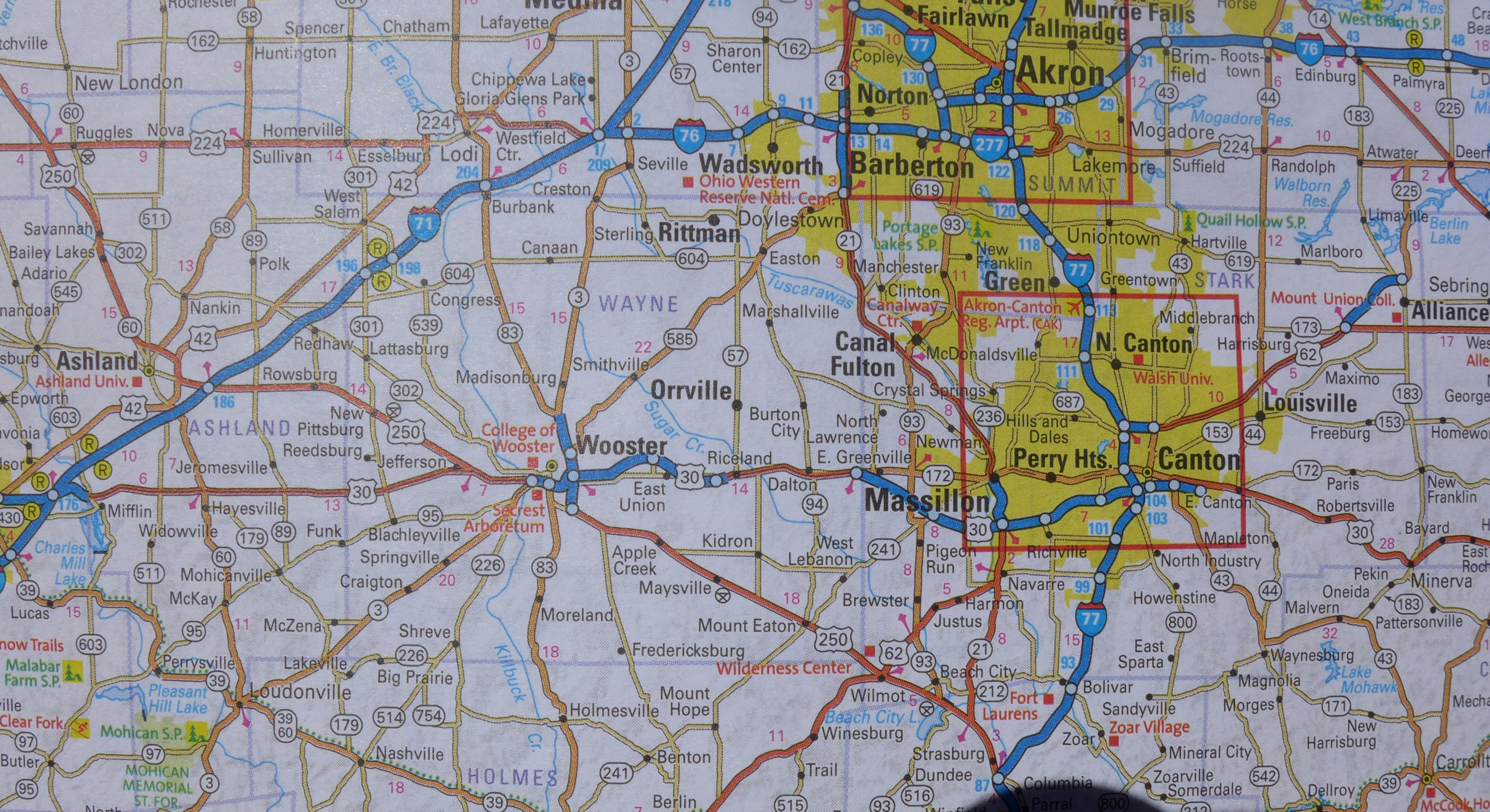
Our U.S. map book is several years old now and we thought we should get a new one. We have it in the car, but we don’t use it much. The big blue roads look much like the roads in the old book, but all the other roads, major and minor, are pink. We can’t get used to it. What does pink have to do with going someplace? 

Leave a comment